
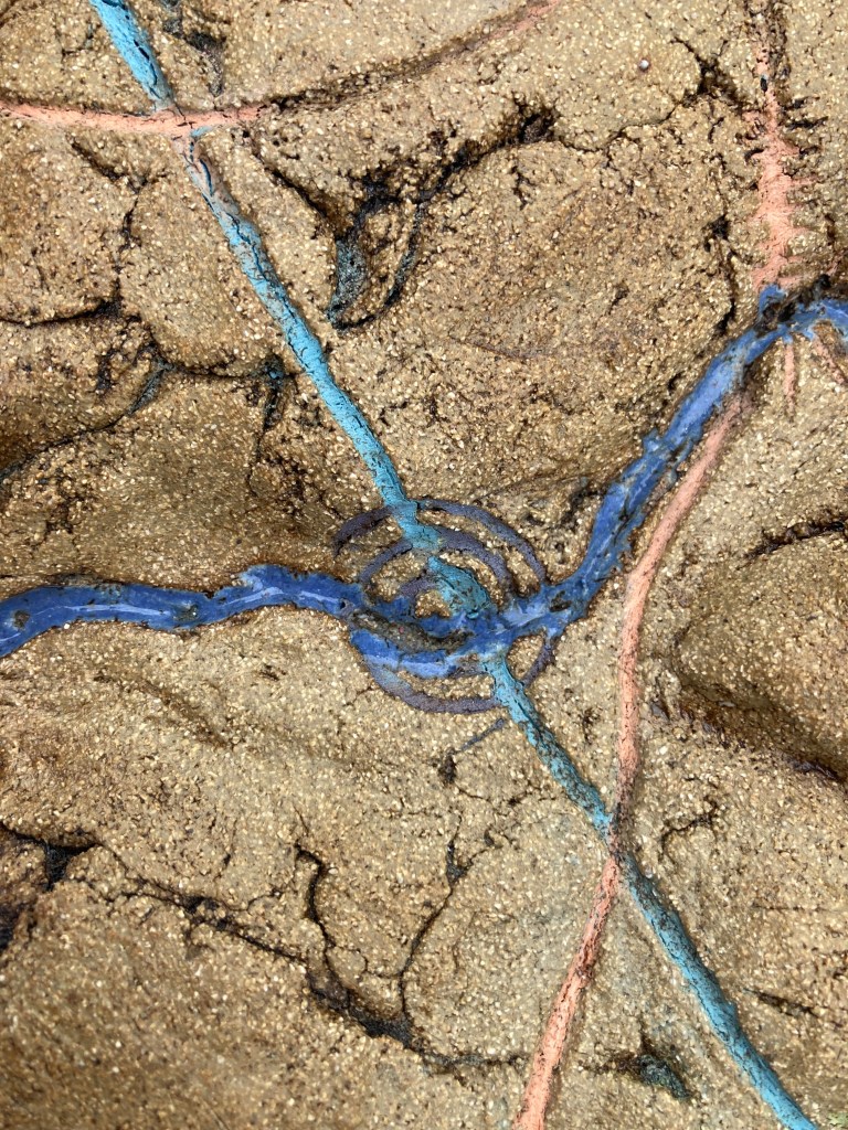
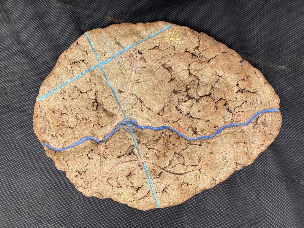
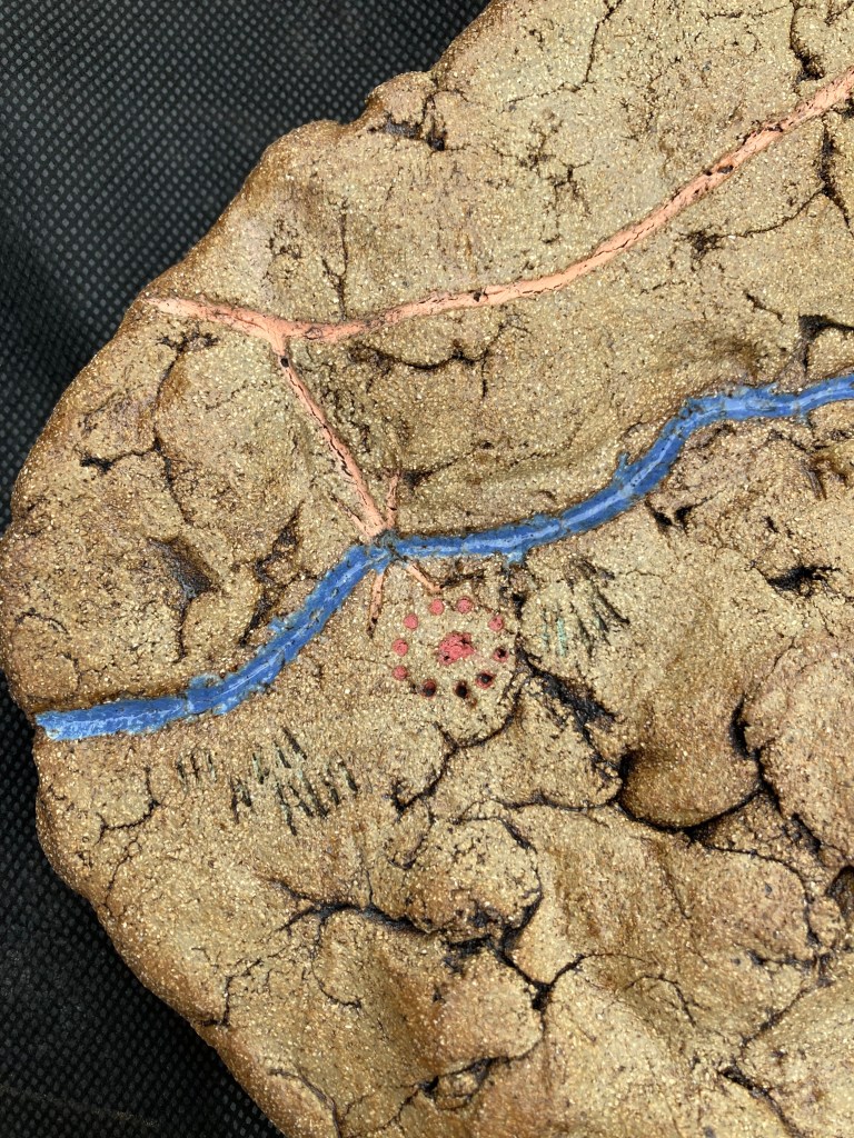
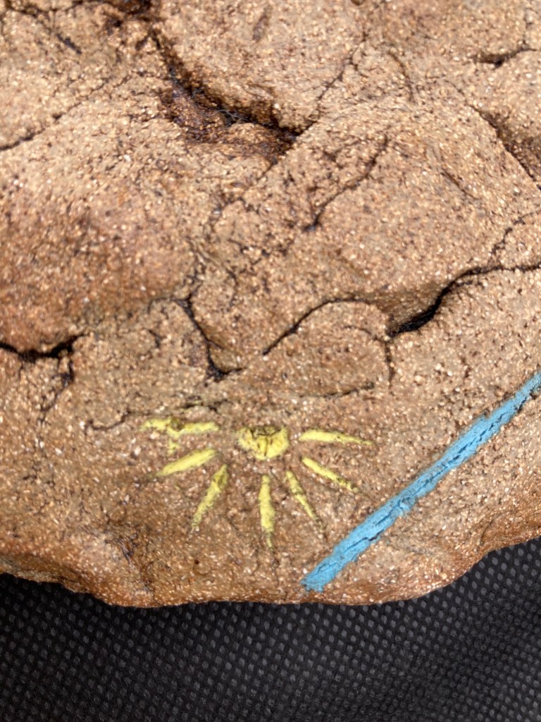
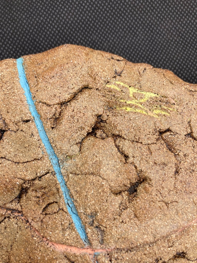

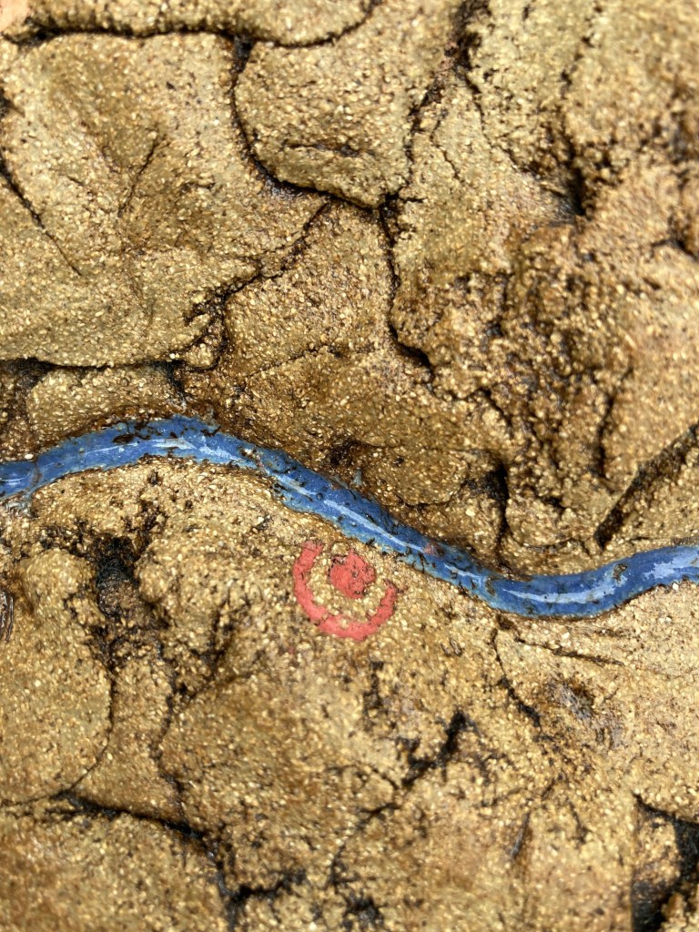
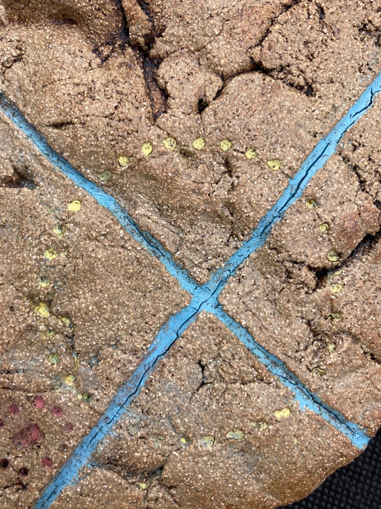
Rock Map, ceramic stoneware, Mike Paul, date
A story of ours which was inspired by the 4,000 year old bronze age rock map found in France. It is believed to be Europe’s oldest found map. It is indeed a ceramic rock map, as rock and ceramic are of the same stuff so its got Mike enjoying making imaginary Pagan “arti”facts, and we decided to jointly write a story around it.
The Rock Map is does actually use the contours of the Sirhowy Valley and River fairly accurately where the story is set. You will notice, stone circles, Ley Lines, settlements, sunrises and sunsets, ridgeway paths, steps cut in the cliffs, coal mine, and the spiritual symbol where the “Pagan Pool” is.